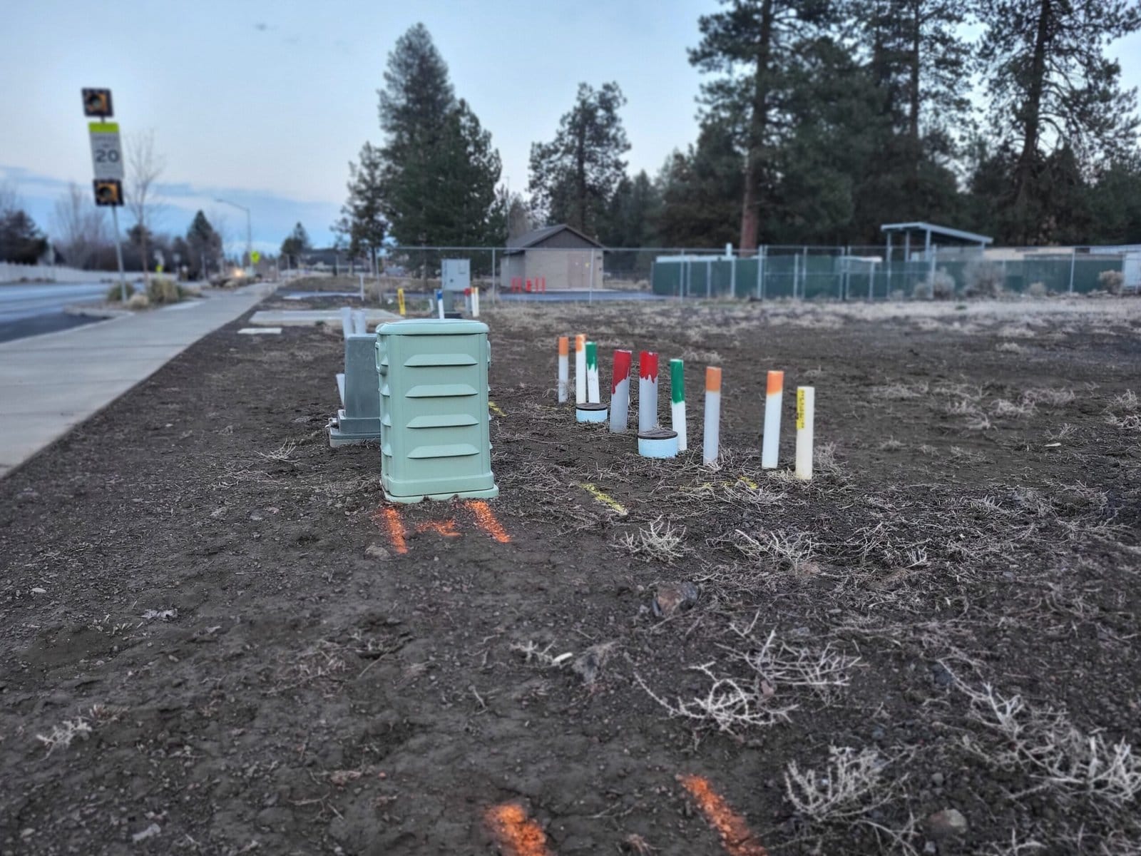
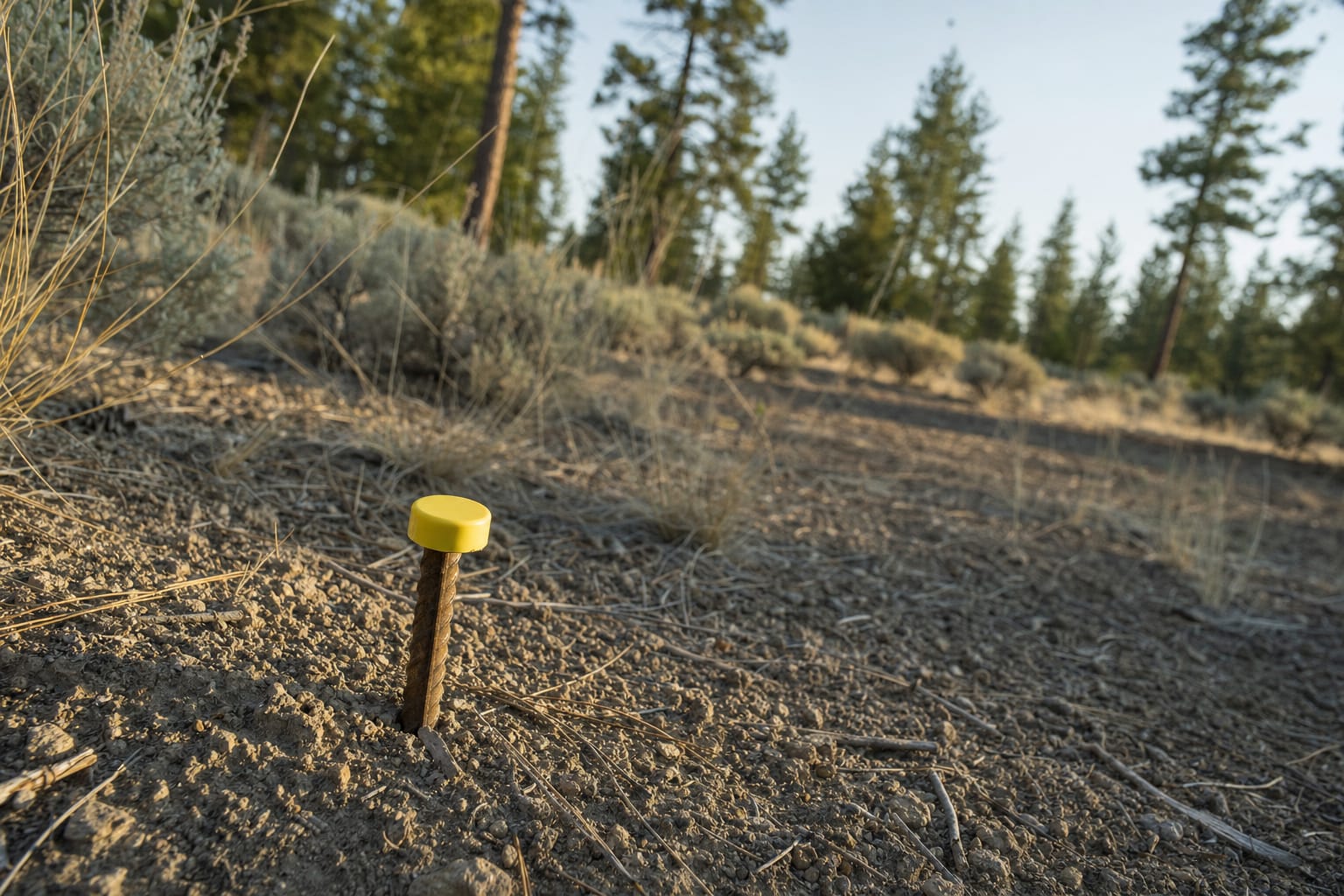
In recorded subdivisions and partitions in Oregon, property pins are typically iron pipes or rods that a surveyor sets at the corners of a lot. If you can’t find yours, check your recorded plat, measure from known corners, and try a metal detector. If that fails, call a licensed surveyor to find or replace them. Don’t treat a fence as your property line.
What a property pin is
A pin is a short iron pipe or rod driven into the ground at a lot corner. Many carry a bright plastic cap. Some have no cap at all, and grass and soil cover plenty of them.
In Oregon, lot and parcel corners in recorded subdivisions and partitions are generally required to be marked with iron pipe or rod monuments (ORS 92.060). A registered professional land surveyor files a map with the county surveyor when they set or reset a monument (ORS 209.250). Anyone who disturbs or destroys a monument of record must have a registered professional land surveyor reference and replace it within 90 days, at their own cost (ORS 209.150).
Those pins and the filed survey are the public record a buyer, builder or surveyor relies on to locate the lines. Exceptions exist, and other states have their own rules, so confirm what applies to your lot.
If you can’t find them
Work down this list:
- Pull your recorded plat or deed. It may show where the corners are.
- Measure from known points, such as a road edge or a corner you have already found.
- Sweep the likely spot with a metal detector. Iron pins usually show up.
- Stop guessing and call a licensed surveyor.
A surveyor finds the existing pins or sets new ones, and files a map with the county surveyor when they set or reset a monument. That gives you a line you can plan against.
Don’t use the fence
Fences, walls and hedges get put up for convenience. They can sit off the recorded line. SiteFacts explains why a survey matters before you buy.
A site plan is not a survey
Sand & Sage does not survey land or set pins. Under ORS 209.150, a registered professional land surveyor must reference and replace a monument of record that has been disturbed.
We prepare the site plan your permit application asks for, working from county records and what you tell us about the lot. It is not a survey and is not engineered. A boundary survey may still be needed before you build near a line.
If you plan to build and are not sure where the corners are, start with the due diligence steps for vacant land, then talk to us about a site plan.